- Conservation Rising
- Posts
- Adoption of new satellite tool offer live wetlands data
Adoption of new satellite tool offer live wetlands data
From the newsletter
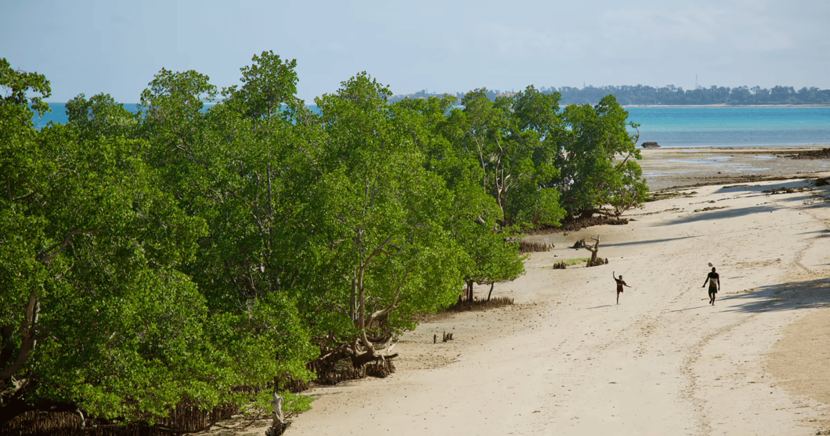
African countries are onboarding the new Wetlands Monitoring Workflow tool developed by Digital Earth Africa. First use cases have been reported in South Africa, Senegal, Kenya and Uganda. The tool uses four decades of satellite data to help conservationists build live wetlands inventories, enabling them to map ecosystem changes and take action.
Alongside the new tool, Digital Earth Africa is also providing its training module and decision-ready services including water observations from space and the waterbodies monitoring service.
The tools deliver live, low-cost wetlands data and build conservation expertise and planning. Shared platforms also strengthen transboundary conservation through effective monitoring and protection of shared ecosystems.
More details
Digital Earth Africa’s Managing Director and Lead Scientist, Dr Lisa-Maria Rebelo, said the innovation directly addresses national challenges. “These new tools, which are developed in Africa for Africa, support informed, data-driven decisions for wise and sustainable management of wetlands at a national level,” she said. Regional implementation partners include the South African National Biodiversity Institute and the Regional Centre for Mapping of Resources for Development in Kenya and Uganda.
Recent analysis presented at the Ramsar Convention on wetlands data showed the scale of the problem. Out of 51 African signatory countries, 67% reported having a national wetlands inventory, but only 16% had updated theirs in the last decade. Many governments lack resources and technical capacity to maintain live inventories.
The Wetlands Monitoring Workflow was first launched at the Ramsar Convention on Wetlands in Victoria Falls in July 2025. It is designed to help African nations build, update and maintain live wetlands inventories using free, open-access satellite data covering the entire continent. .
According to Digital Earth Africa, the tool integrates satellite imagery with geospatial analysis, allowing countries to identify wetland extent, track seasonal and long-term changes. It builds on existing tools like the Wetland Insight Tool, but adds a flexible coding framework and online training modules, ensuring national teams can refine and expand their own inventories.
Recognising Africa’s resource and technical constraints, the workflow uses cloud infrastructure, reducing costs and removing the need for in-country servers. This allows even small technical teams to process continental-scale data. The result is improved policy planning and long-term local ownership of wetlands monitoring.
Our take
Governments can now replace static, outdated wetlands inventories with live datasets updated each year. This allows faster detection of seasonal changes and ecosystem health, giving countries the ability to respond quickly.
Wetlands data collected will help with planning in agriculture, water supply and biodiversity. Reliable inventories allow integration into national planning for farming, climate adaptation and water management.